Tropical Cyclone “Kyarr” forms, intensifying as it heads toward Oman
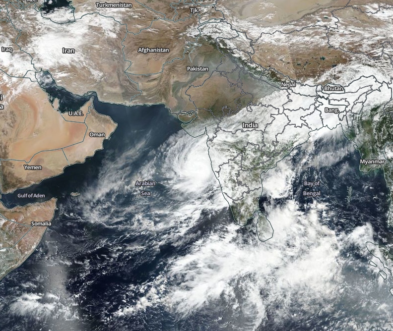
Tropical Cyclone "Kyarr" formed in the east-central Arabian Sea on October 25, 2019, as the 5th named storm of the 2019 North Indian Ocean tropical cyclone season. The system is expected to intensify as it heads toward Oman.
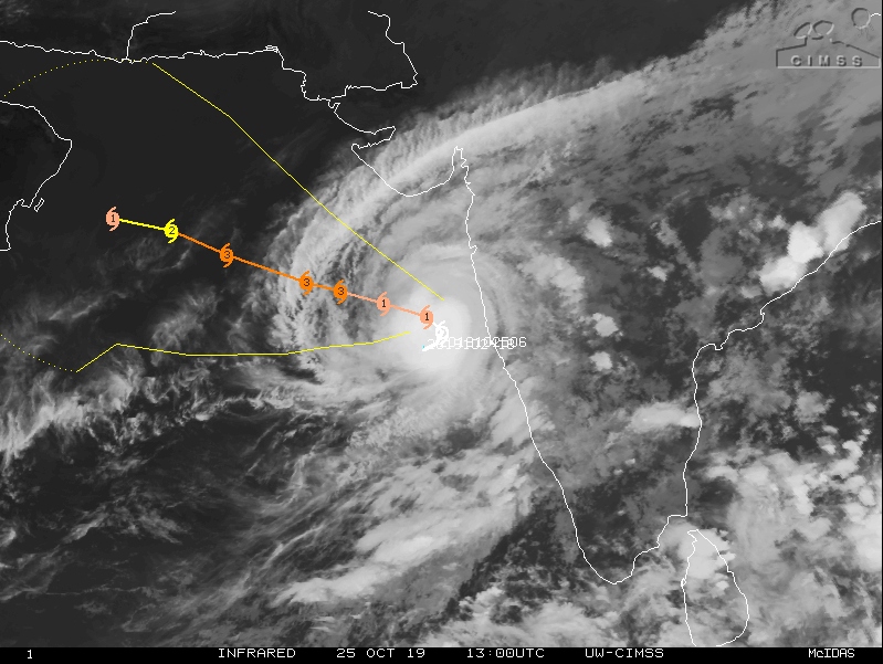
At 09:00 UTC on October 25, the center of Tropical Cyclone "Kyarr" was located approximately 1 100 km (685 miles) SSE of Karachi, Pakistan and has tracked NE at 7 km/h (4 mph) over the past six hours, according to the JTWC.
Its maximum sustained winds were reaching 85 km/h (52 mph) with gusts to 102 km/h (64 mph).
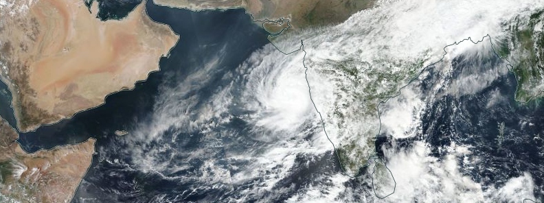
Tropical Cyclone "Kyarr" on October 25, 2019. Credit: NASA/NOAA Suomi NPP/VIIRS
Animated multispectral satellite imagery shows the cyclone continues consolidating with persistent deep convection wrapping around the low level circulation center (LLCC).
Kyarr is experiencing vertical wind shear and sea surface temperatures favorable for additional development.
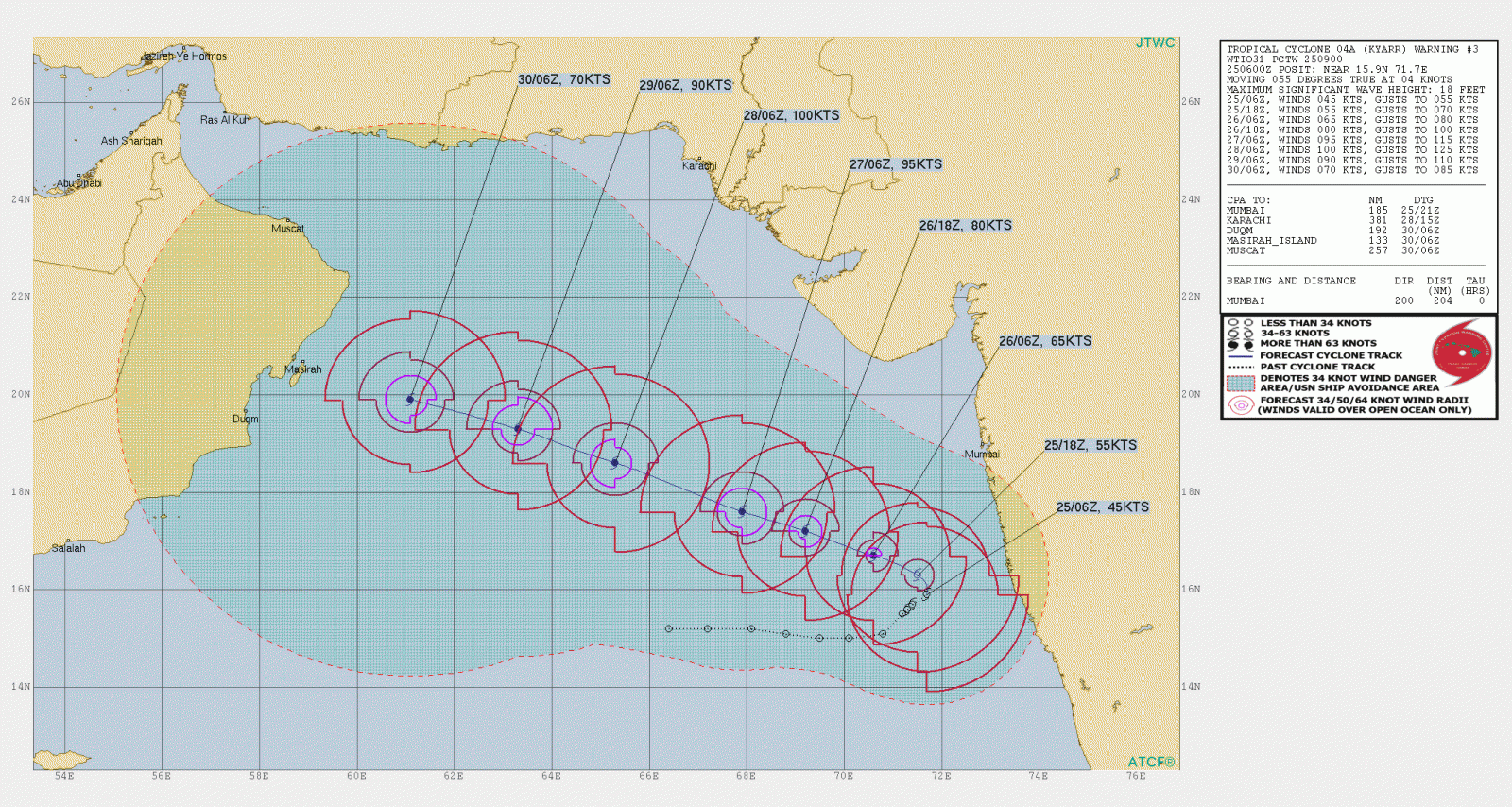
While it's still too early to be sure, Kyarr is expected to peak on October 28 at 185 km/h (115 mph) and then start weakening as it approaches the coast of Oman.
Featured image: Tropical Cyclone "Kyarr" on October 25, 2019. Credit: NASA/NOAA Suomi NPP/VIIRS
Commenting rules and guidelines
We value the thoughts and opinions of our readers and welcome healthy discussions on our website. In order to maintain a respectful and positive community, we ask that all commenters follow these rules.